In quite a few projects world-wide, 3D Mapping technology has been used for documenting historical buildings -- typically involving a massive amount of time and person power for both the data capture and their processing for public access (if that is granted at all). This can be afforded for eminent buildings like the Pantheon in Rome or the Cologne Cathedral; it is prohibitive for the many thousands of listed historic buildings constituting the cultural heritage of a whole region. 3DInOs was a study for developing and exemplifying a concept how to document historical buildings in a level of detail satisfying art historians' needs and involving much limited cost for capturing, processing, and archiving the data, owing to the automatization and standardization of many of the processes and data formats involved.
Haseschachtgebäude in Osnabrück
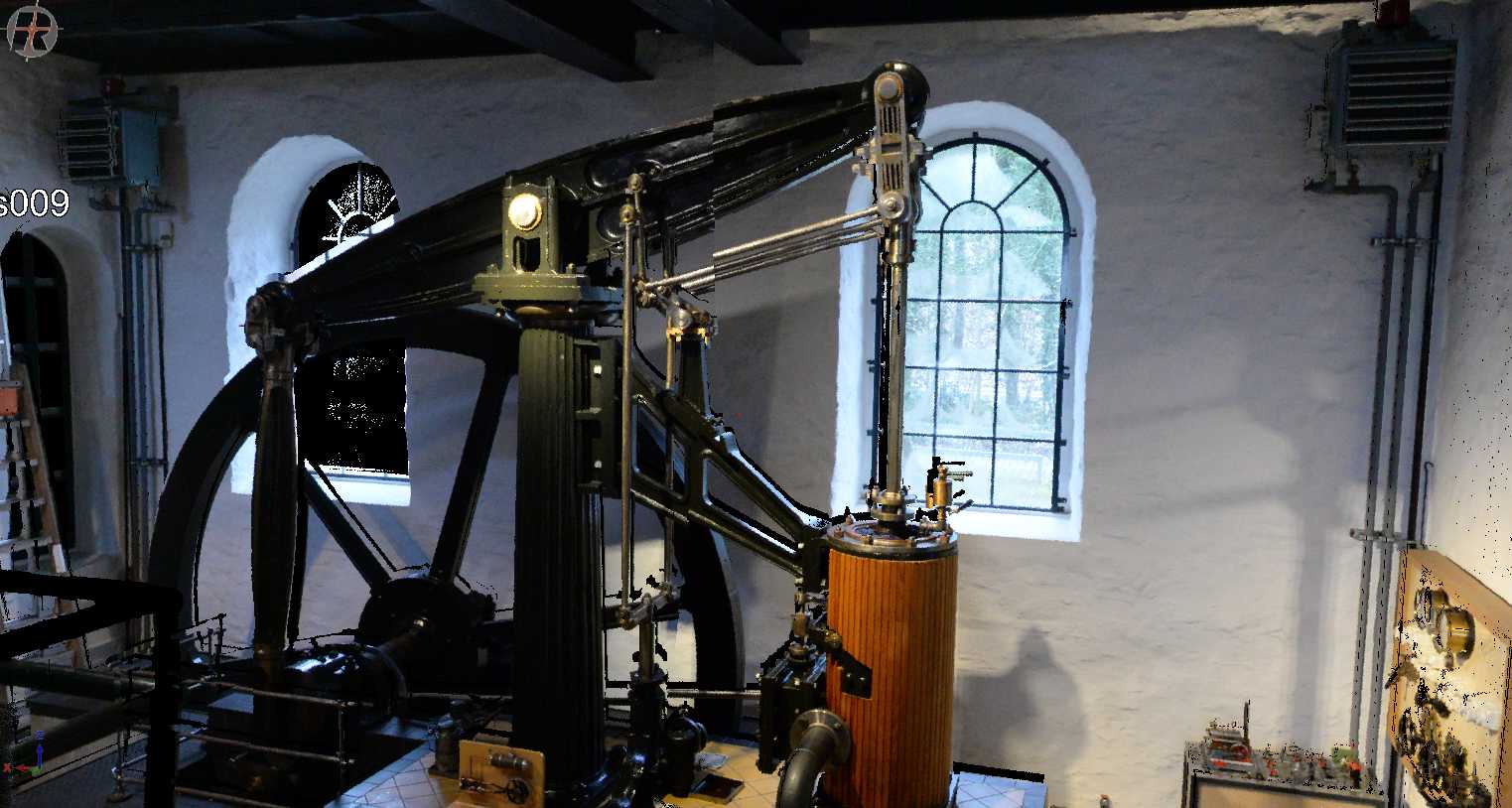
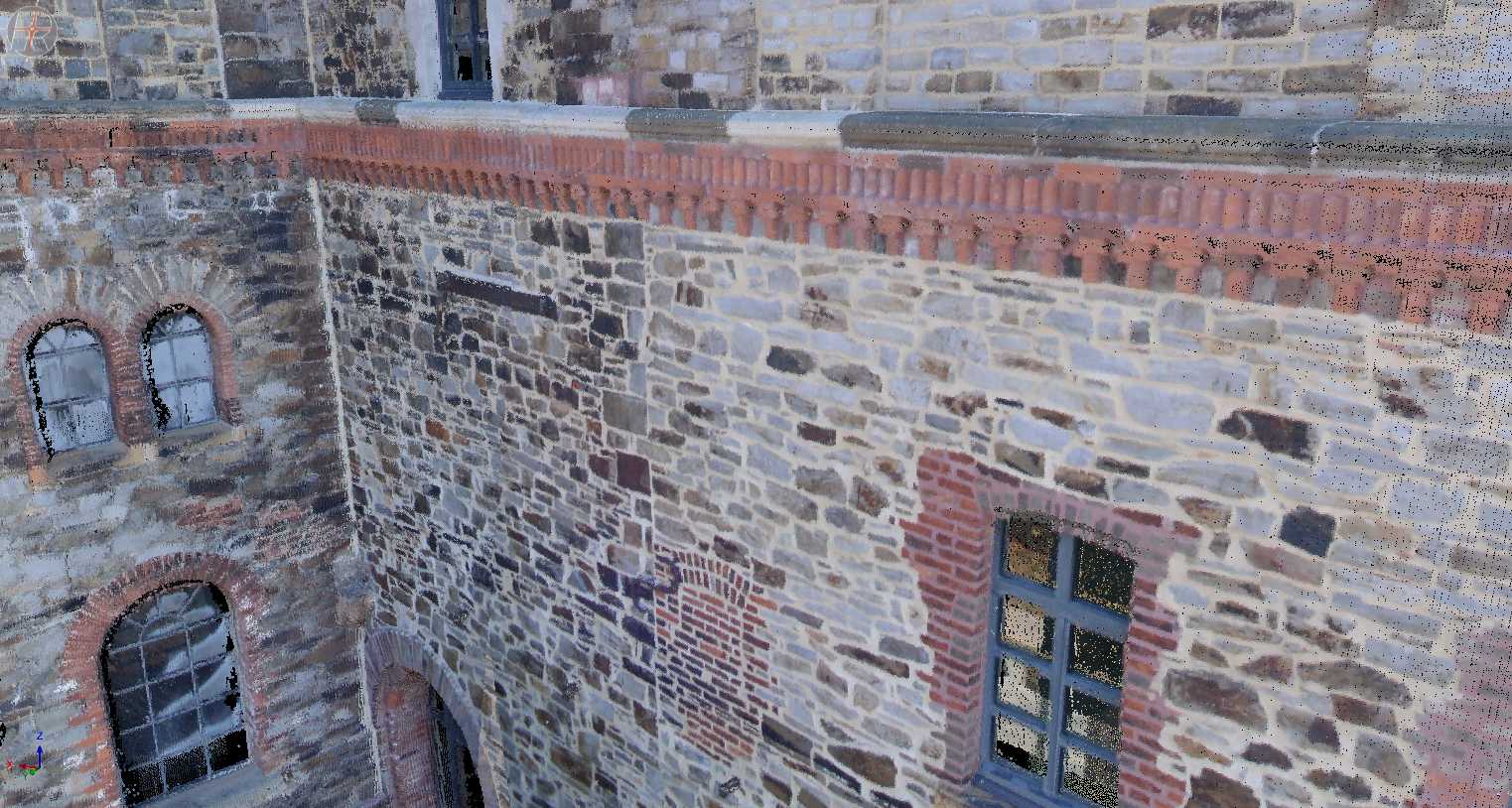
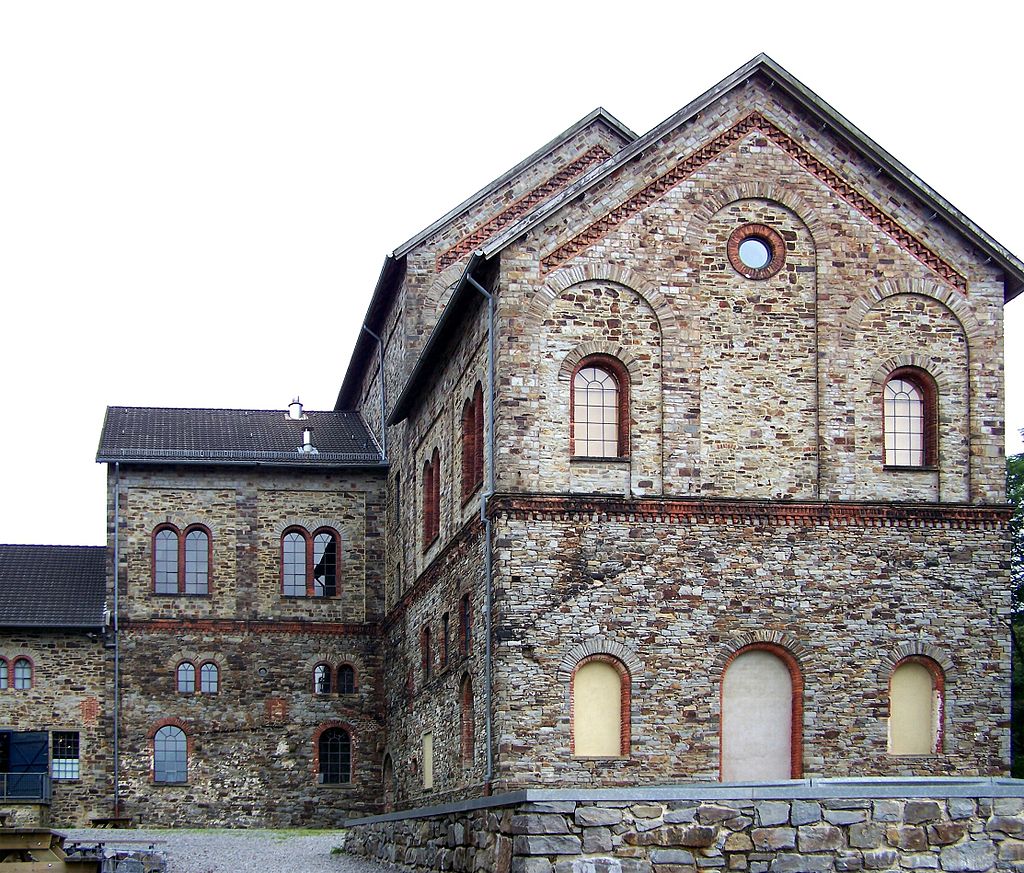
The building used for investigating the problems of art historian-safe building documentation and for exemplifying possible solutions was the Haseschachtgebäude in Osnabrück, a historical building from the peak of the coal-mining era in Osnabrück in the late eighteen hundreds, now run by the museum of industrial culture (cf. Figure. 1).
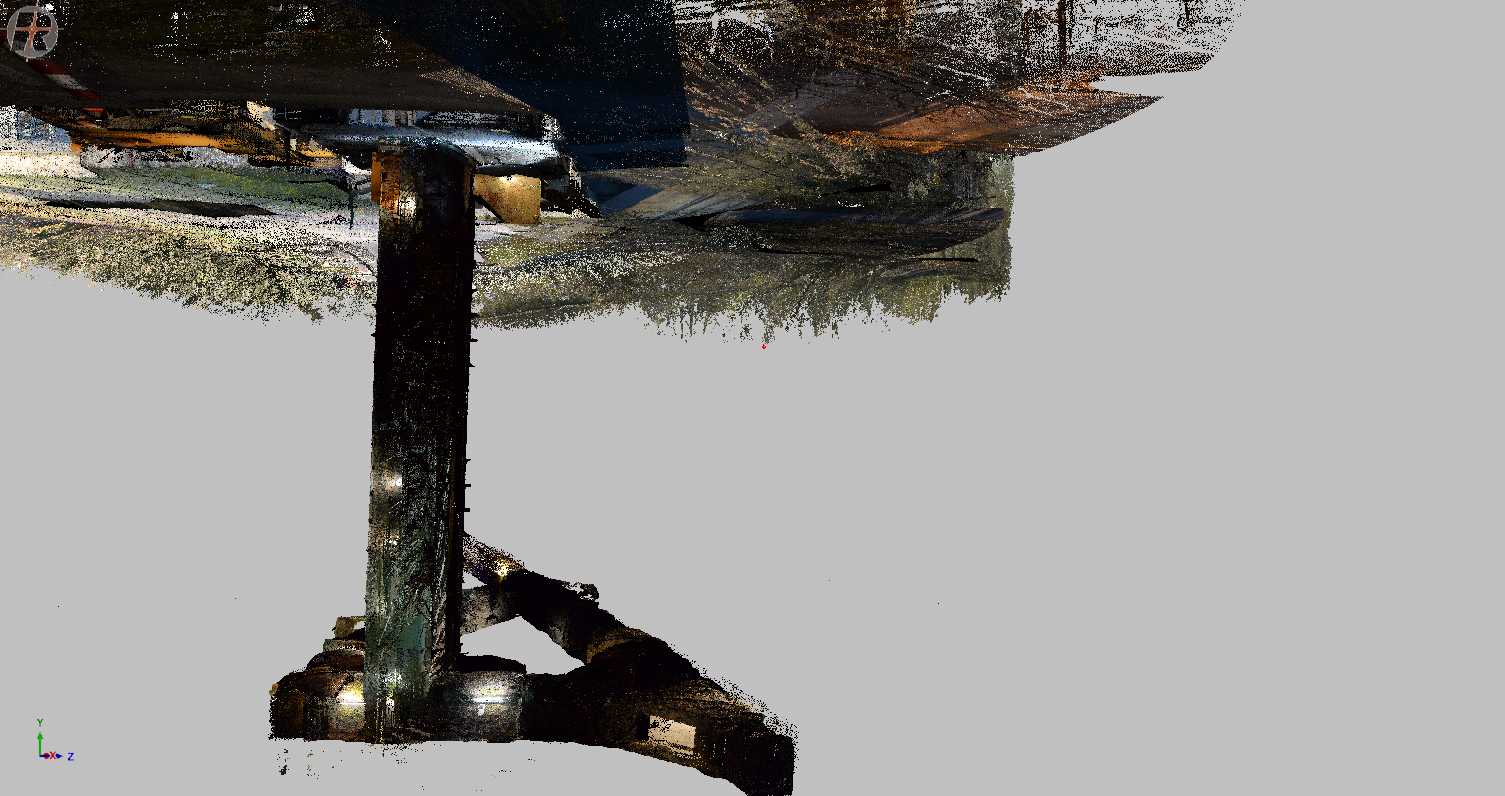
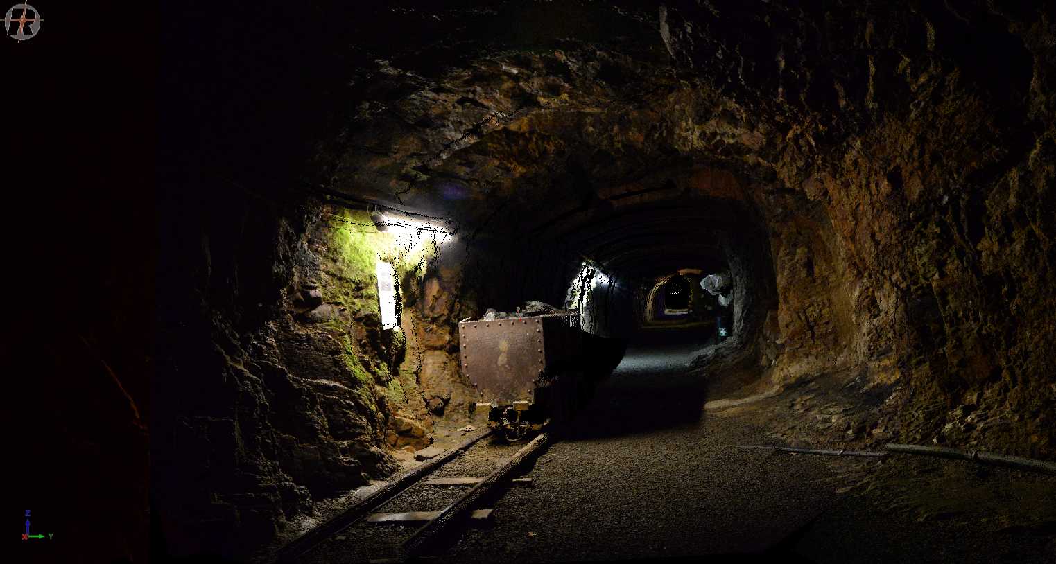
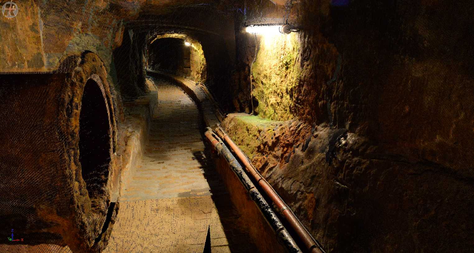
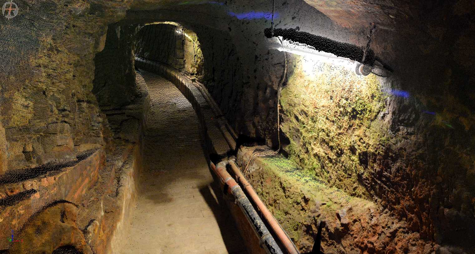
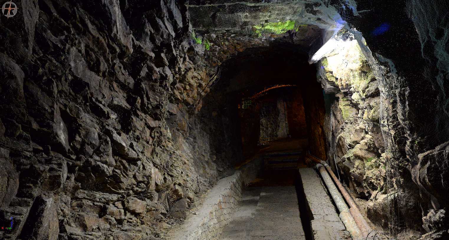
The building itself is a typical example of the rich regional industrial architecture of the time. It was housing the winding tower for accessing coal-mining shafts below, which can still be accessed today and are part of the site to be documented, as can be seen in the 3D site model in the rendering (cf. Figure. 2).
The building itself is a typical example of the rich regional industrial architecture of the time. It was housing the winding tower for accessing coal-mining shafts below, which can still be accessed today and are part of the site to be documented, as can be seen in the 3D site model in the rendering (cf. Figure. 2).
Constituents of the Developed Concept
- Data are taken by a state-of-the-art 3D Laser scanner including a high-resolution RGB camera.
- The integration of the many scans needed to get a full model of a building (exterior and interior) is highly automatized, relying on our 3D mapping pipeline, previously developed in robot mapping context.
- The huge data volume can be greatly reduced by using the software pipeline for producing colored 3D meshes from colored 3D point clouds, as developed in our internal LVR project.
- Meshes and textures can kept in open data formats.
In addition, the concept study has resulted in a perspective for curating the data, making it freely available, including other historical material about the buildings (e.g., historical plans and photos), and re-working it for pedagogical purposes (e.g., museum pedagogics, academic teaching). Future funding permitting, we will run a full project demonstrating all this, again by example of the Haseschachtgebäude, in a joint project involving more partners bringing together the research and professional background for addressing all these tasks.
Renderings of 3D Point Clouds of the Haseschachtgebäude in Osnabrück